|
Events
|
Rock Creek Loop - John Muir - Chestnut Ridge Trails
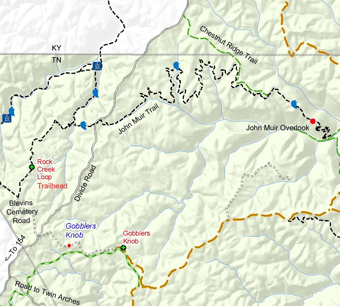
Segments of the Rock Creek Loop Trail, the John Muir Trail, and the Chestnut Ridge Trail in the northwest corner of the Big South Fork form a network of rides of varying length and skill levesl. Combine trail segments for an out-and-back 18-mile ride to the scenic John Muir Overlook of shorter combination of loop and out-and-back rides. To access the area, take Highway 154 north from the junction with Highway 297 between the western park boundary and Jamestown. In 1.8 miles turn right onto Divide Road.
| To ride the Rock Creek Loop Trail, follow Divide Road for 4.4 miles and turn left on the road to Hattie Blevins Cemetery. See the map below. The road ends after 2.9 miles at the cemetery. Park there and start riding to the north on the Rock Creek Loop Trail. The first mile of the trail is flat and follows an old road bed. After a sharp right turn, the trail narrows and descends into a ravine to cross Massey Branch. Portions of this descent and the ascent after crossing the creek are steep with sharp turns and switchbacks. Be prepared to walk your bike. The Rock Creek Loop Trail intersects the John Muir Trail at Massey Branch. Dismount and walk your bike across the narrow bridge to the right. The left fork at the bridge is the continuation of the Rock Creek Loop Trail. This section, closed to bicycles, follows the former route of the Stearns Logging Railroad along Massey Branch. It is very scenic and well worth hiking. | 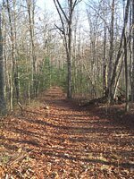 Several stretches of the Rock Creek Loop and John Muir Trails are on old roadbeds. Several stretches of the Rock Creek Loop and John Muir Trails are on old roadbeds. |
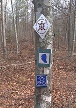 The John Muir Trail is marked with the blue silhouette of Muir's head. This stretch of the trail was recently designated part of the Sheltowee Trace. The John Muir Trail is marked with the blue silhouette of Muir's head. This stretch of the trail was recently designated part of the Sheltowee Trace. |
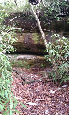
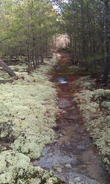
After crossing Massey Branch, the John Muir Trail climbs out of the gorge and in half a mile crosses Divide Road. This trail crossing is well marked. The small parking area at this well-marked trail crossing which can be used as a trailhead for riders planning a shorter, flatter ride. The 7.4-mile segment of the John Muir Trail from Divide Road to John Muir Overlook is open to mountain bikes. It is mostly flat to rolling, passes several small rockhouses, and crosses several small creeks. Be prepared to dismount and walk your bike across the low, narrow wooden footbridges which are extremely slippery when wet. Practice your cyclocross bike carry on the wooded latter about 2 miles from Divide Road. The trail crosses a variety of maturing hardwood forests, hemlock groves along the creeks, and extensive areas of younger mixed forest recovering after extensive tornado damage in the 1970s and more recent fire and pine beetle damage. A few short stretches of the trail cross lichen-covered sandstone. |
 |
 |
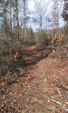 |
| (Left) Wooden footbridge at base of rockhouse with waterfall. These footbridges are very slippery when wet. (Center) A stretch of the John Muir Trail on lichen-covered sandstone bedrock. The lichens are fragile - ride on the bare rock. (Right) A stretch of the John Muir Trail in forest regenerating after tornado, fire, and pine beetle damage. | ||
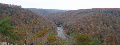
After about 6 miles, the John Muir Trail intersects with the Chestnut Ridge Trail. In another mile, the trail starts climbing a narrow knife ridge that ends at John Muir Overlook. At the first of the wooded steps, leave you bike by the trailside and walk to the overlook. Use caution, as the sandstone is slippery when wet. The overlook provides a panoramic view of the valley of No Business Creek. Note the cleared fields in the valley to the west; this is the former Boyette homeplace. It is periodically mowed by the park staff as part of its historic landscape maintenance program.
 The view from John Muir Overlook.
The John Muir Trail is closed to bikes past the overlook, so ride back towards the west. For a shorter return trip, turn right onto the Chestnut Ridge Trail about a mile west of the overlook. The Chestnut Ridge Trail is a relatively flat former logging road about 2 miles long that ends at Divide Road 0.7 miles north of the Tennessee-Kentucky state line and 1.7 miles north of where the John Muir Trail crosses Divide Road. Go left on Divide Road and after 1.7 miles go right (west) on the John Muir Trail. Descend to Massey Branch (be careful on the hairpin turns), walk your bike across the bridge, and then follow the Rock Creek Loop Trail to the left (west) to the Hattie Blevins Cemetery parking lot.
For a shorter, more direct route to John Muir Overlook, park at the Divide Road – Chestnut Ridge Trail intersection 0.7 miles north of the state line. This trailhead is poorly marked so check your distance and watch for the old road branching off to the right.
For more detailed information on the Rock Creek Loop and John Muir Trails, see Hiking the Big South Fork, 3rd ed., by Deaver, Smith, and Duncan, University of Tennessee Press, 1999. This guidebook is available at the park visitor center and other booksellers.
